
Winter Storm Impacts Expected to Last
The upcoming winter storm is set to bring significant snow and ice to the District, with effects likely extending beyond a mere weekend disruption. Meteorologists are warning that frigid temperatures could persist through next week, potentially locking in snow and ice long after the storm has passed.
The National Weather Service announced on Wednesday that a prolonged Arctic outbreak may lead to hazardous cold conditions across much of the eastern United States, possibly lasting until February 3. Approximately 230 million Americans could experience extreme cold, with 85 million under various weather warnings or advisories.
In the District, forecasters predict snow totals could exceed 8 inches. NBC4’s chief meteorologist Doug Kammerer anticipates snowfall beginning around 10 p.m. Saturday and continuing until noon Sunday before transitioning to sleet. He noted a strong consensus among models indicating nearly 10 inches of snow in most scenarios.
Some forecasts suggest even higher totals, with meteorologists from Weather Unfiltered projecting up to 16 inches as of Wednesday evening.
While heavy snowfall is expected from Friday through Monday, meteorologists caution that the more significant threat may be the subsequent deep freeze that will hinder melting and leave side streets impassable, schools closed, and neighborhoods facing power outages for days.
Emma Belscher, an AccuWeather meteorologist, indicated that some areas might struggle to rise above freezing even after the snow and ice have cleared. She emphasized that this would prolong impacts as any remaining snow or ice would likely refreeze overnight.
This cold outbreak is distinct from typical winter storms that usually yield snow but are followed by milder temperatures allowing for cleanup and recovery. Steven Sosna from CBS Baltimore noted that temperatures in the Baltimore-Maryland area are expected to remain below freezing for at least ten days, leading to extended impacts throughout the state.
Sosna warned that untreated side roads and neighborhood sidewalks may remain hazardous through next week. Widespread school closures are anticipated starting Monday and could extend into midweek if the storm reaches its full potential.
The National Weather Service highlighted risks beyond travel disruptions due to the prolonged freeze. They cautioned about potential pipe bursts and increased hypothermia risks as well as complications arising from any power outages caused by this weekend’s winter storm.
Meteorologists acknowledge significant uncertainty regarding exact snowfall amounts as the storm system develops. Current weather models indicate a wide range of possible accumulations based on the storm’s track and intensity.
Sosna mentioned there is a high likelihood of receiving six or more inches of snow across Maryland, with double-digit totals possible in areas north and west of Baltimore where only snow falls without sleet or freezing rain mixing in.
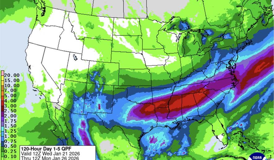
The weather service’s national forecast predicts heavy snowfall across a broad area stretching from the Southern Rockies and Plains eastward into New England, with some localities potentially seeing over 12 inches. Single-digit temperatures early next week will complicate snow removal efforts; even when sunshine returns post-storm, plowed snow will struggle to melt due to persistent cold conditions.


